November 18, 2005

Curious George: Prettier Network Maps? 
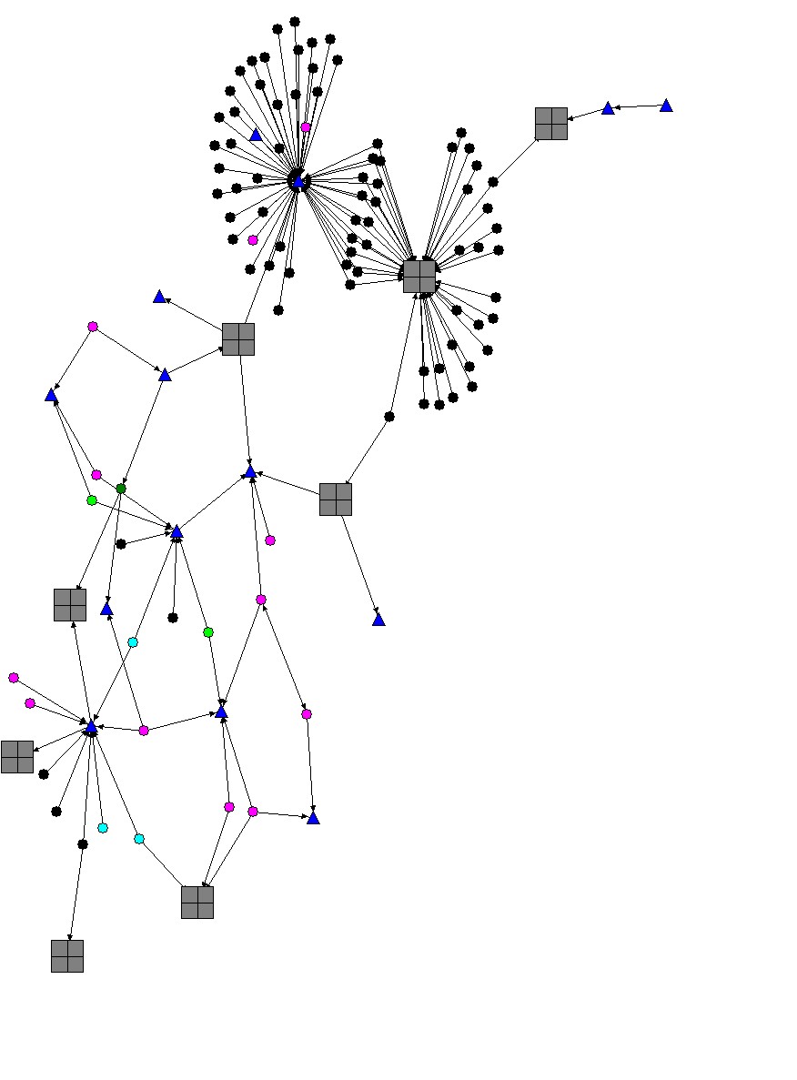
For a project at work, I've been building a conceptual map of a communications network. The boss is happy with the results, but thinks the current output (minus identifying labels) is confusing and needs prettying up.

Any ideas on software to use -- this was done in NetDraw -- or designers to contact? We have a budget that I think probably reasonable, and I'm happy to recode the underlying data into pretty much any format needed. In case the map's not clear, different shapes and colors denote different roles. Final output would need ~20 character labels on each. (And yes, I did also post this at AskMe. Things get lost so quickly in the green.)

  • There's some free software (originally from ATT) called graphviz that will generate some decent figures. I've used the "dot" program in that package to draw nice labelled networks.
  • I have used graphviz extensively and I am very happy with it. You might consider using the svg output instead of gif or jpeg. You will need a viewer (google for adobe svg viewer) and you can then zoom, pan, etc., which is nice for larger graphs. If you are handy you can even add some javasctipt content (like tooltips with additional info).
  • What an attractive image, Argh. Will more of your work be linked soon? huh?
  • Yeah, Graphviz can generate the same sort of network drawing as NetDraw, but still can't get pretty. At least not when driven by me. This is ultimately to be output to paper, so SVG and PS and 3D views are no good to me either. You available for hire, Argh? email's in profile.

  • LanSurveyor by Neon Software will do this for you, automatically. Jeff

    Apple Certified Tech by day, Simian by night.

  • Eek. Maybe I wasn't clear in the OP; this isn't a computer network, but one of people, space, and time. Conceptual links, not CAT-5.
  • People pay you to GIS? Neato!
  • People pay to GIS? Neato!